
To equip tribes with the data needed to understand their energy options, the U.S. Department of Energy (DOE) Office of Indian Energy funded the development of the Tribal Energy Atlas—a first-of-its-kind interactive geospatial application that enables tribes to conduct their own analyses of installed energy projects and resource potential on tribal lands. Developed by researchers from DOE’s National Renewable Energy Laboratory for the Office of Indian Energy, it’s the most robust tool ever designed to assist tribal energy project planners, technicians, and investors with analyzing energy options in Indian Country.
The latest energy resource data was used to populate the Tribal Energy Atlas, along with other relevant information on infrastructure (e.g., conventional and renewable energy facilities, transmission lines, railroads), environment (e.g., water availability, protected areas), energy efficiency, electricity and natural gas prices, and more. The data is not limited to renewable energy as it also includes natural gas, petroleum, and other conventional energy sources.
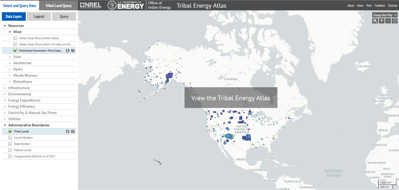
The tool includes built-in tutorials to assist users, as well as the ability to provide direct feedback on usability. For more information on the tool’s features and functionality, access the final webinar in the 2017 Office of Indian Energy webinar series, which provided a detailed tutorial on the tool in advance of its release.